Disused Car Park
Introduction
The photograph on this page of Disused Car Park by Mr Biz as part of the Geograph project.
The Geograph project started in 2005 with the aim of publishing, organising and preserving representative images for every square kilometre of Great Britain, Ireland and the Isle of Man.

There are currently over 7.5m images from over 14,400 individuals and you can help contribute to the project by visiting https://www.geograph.org.uk
Disused Car Park
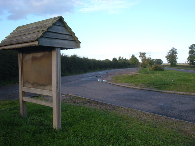
Image: © Mr Biz Taken: 16 Oct 2010
This site looks to have seen little maintenance recently, indicated by the unreadable signage. On modern maps it's not indicated as a stop site, however my 1997 OS Explorer states this as parking area, along with a sign along the A422.
Images are licensed for reuse under creativecommons.org/licenses/by-sa/2.0
Image Location
Latitude
52.028702
Longitude
-0.909405