Sea wall at Swalecliffe
Introduction
The photograph on this page of Sea wall at Swalecliffe by Marathon as part of the Geograph project.
The Geograph project started in 2005 with the aim of publishing, organising and preserving representative images for every square kilometre of Great Britain, Ireland and the Isle of Man.

There are currently over 7.5m images from over 14,400 individuals and you can help contribute to the project by visiting https://www.geograph.org.uk
Sea wall at Swalecliffe
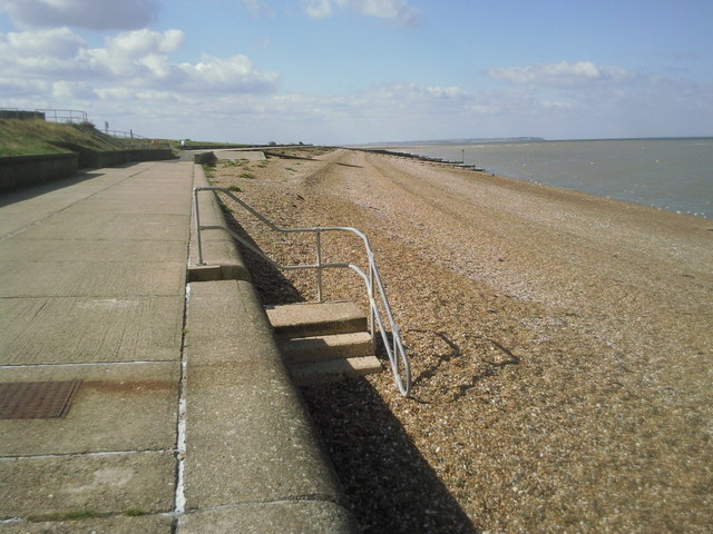
Image: © Marathon Taken: 17 Sep 2010
The sea defences, like along much of this coast, provide a route for the coastal path which here is the Saxon Shore Way. This is an area of large caravan parks. The Isle of Sheppey can be seen in the distance.
Images are licensed for reuse under creativecommons.org/licenses/by-sa/2.0
Image Location
Latitude
51.368261
Longitude
1.081046