Stewards Rise
Introduction
The photograph on this page of Stewards Rise by Simon Carey as part of the Geograph project.
The Geograph project started in 2005 with the aim of publishing, organising and preserving representative images for every square kilometre of Great Britain, Ireland and the Isle of Man.

There are currently over 7.5m images from over 14,400 individuals and you can help contribute to the project by visiting https://www.geograph.org.uk
Stewards Rise
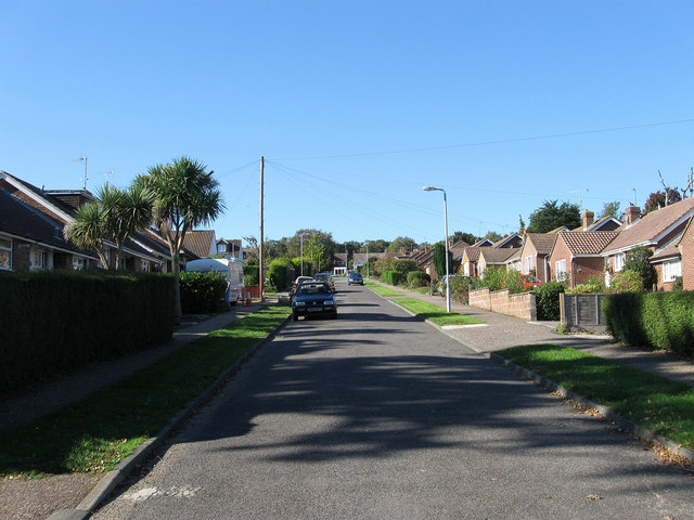
Image: © Simon Carey Taken: 10 Oct 2010
Linking Priory Road with Dalloway Road and named after the nearby Stewards Copse. Much of the road was developed post Second World War.
Images are licensed for reuse under creativecommons.org/licenses/by-sa/2.0
Image Location
Latitude
50.848176
Longitude
-0.570097