Information Board, Bute Town
Introduction
The photograph on this page of Information Board, Bute Town by Robin Drayton as part of the Geograph project.
The Geograph project started in 2005 with the aim of publishing, organising and preserving representative images for every square kilometre of Great Britain, Ireland and the Isle of Man.

There are currently over 7.5m images from over 14,400 individuals and you can help contribute to the project by visiting https://www.geograph.org.uk
Information Board, Bute Town
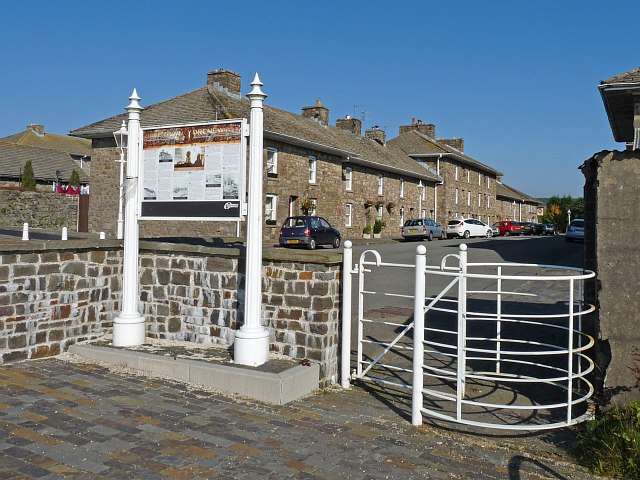
Image: © Robin Drayton Taken: 13 Oct 2010
A model village created in the early 1800s by the Marquis of Bute for workers in his ironworks. The designs of the forty seven cottages were based on those of the renaissance architect 'Palladio' who had developed his ideas from the ancient ruins of Rome. The village was intended to be much larger and be deemed a separate town but the development was never completed due to a slump in 1830. (Extracted from the information board.)
Images are licensed for reuse under creativecommons.org/licenses/by-sa/2.0
Image Location
Latitude
51.773372
Longitude
-3.300148