Dumbarton from the air
Introduction
The photograph on this page of Dumbarton from the air by Thomas Nugent as part of the Geograph project.
The Geograph project started in 2005 with the aim of publishing, organising and preserving representative images for every square kilometre of Great Britain, Ireland and the Isle of Man.

There are currently over 7.5m images from over 14,400 individuals and you can help contribute to the project by visiting https://www.geograph.org.uk
Dumbarton from the air
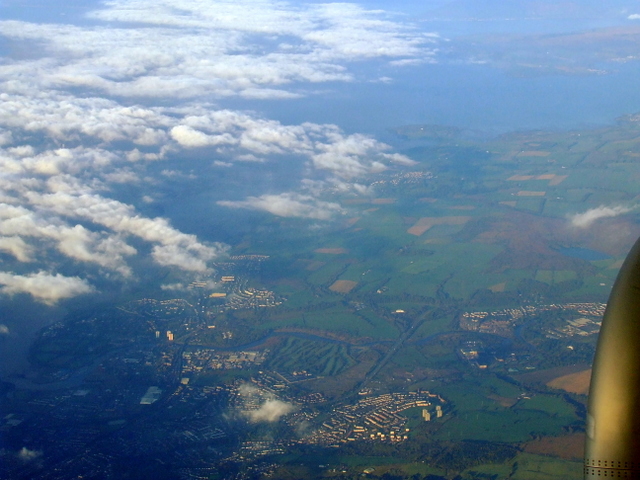
Image: © Thomas Nugent Taken: 11 Oct 2010
The River Leven is to the bottom left, whilst Ardmore Peninsula and the Firth of Clyde can be seen at the top. Taken from a flight which has just left Glasgow for Bristol.
Images are licensed for reuse under creativecommons.org/licenses/by-sa/2.0
Image Location
Latitude
55.94632
Longitude
-4.539669