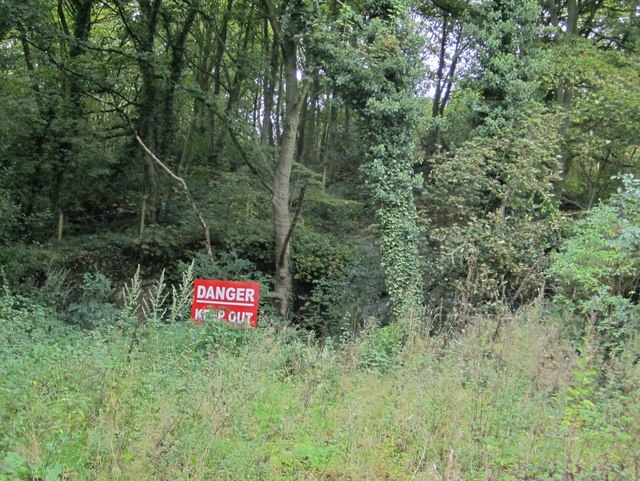
Killiebrig Quarry, Heddon Banks
Introduction
The photograph on this page of Killiebrig Quarry, Heddon Banks by Andrew Curtis as part of the Geograph project.
The Geograph project started in 2005 with the aim of publishing, organising and preserving representative images for every square kilometre of Great Britain, Ireland and the Isle of Man.
There are currently over 7.5m images from over 14,400 individuals and you can help contribute to the project by visiting https://www.geograph.org.uk

Image: © Andrew Curtis Taken: 15 Oct 2010
There is another photo here Image Now fenced off and with warning signs. Local children used to play here and practice climbing in the old quarry, dangerous although it undoubtedly was. Landowners are now responsible for any injuries on their land and feel obliged to keep people out. Killibrig Quarry first started operation in 1887, cut deeply into the hillside next to Slacks Plantation. It had a reputation throughout the north-east for its fine quality sandstone. The engine foundations still exist but the chimney was pulled down in the 1980's. The stone was carried in wagons, down the incline from the quarry, to the corner of the Close House cricket ground and then eastwards to join the Wylam Waggonway Image The mineral railway passed under Heddon Banks just below the quarry, between Close Lea and West Acres, and was already marked as disused by the late 1890s http://heddonhistory.weebly.com/old-photos-1.html

