Calgow
Introduction
The photograph on this page of Calgow by Andy Farrington as part of the Geograph project.
The Geograph project started in 2005 with the aim of publishing, organising and preserving representative images for every square kilometre of Great Britain, Ireland and the Isle of Man.

There are currently over 7.5m images from over 14,400 individuals and you can help contribute to the project by visiting https://www.geograph.org.uk
Calgow
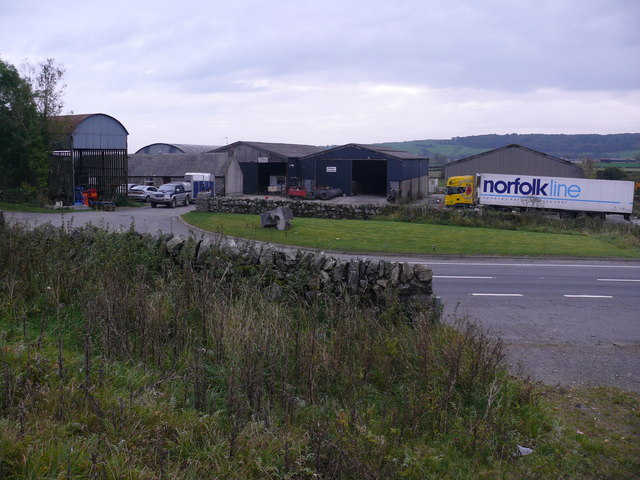
Image: © Andy Farrington Taken: 14 Oct 2010
View of this farm at the side of the A75 which also operates as an equestrian centre and transport hub.
Images are licensed for reuse under creativecommons.org/licenses/by-sa/2.0
Image Location


Leaflet Map data © OpenStreetMap
Latitude
54.956568
Longitude
-4.452773