2010 : Day's Lane looking south
Introduction
The photograph on this page of 2010 : Day's Lane looking south by Maurice Pullin as part of the Geograph project.
The Geograph project started in 2005 with the aim of publishing, organising and preserving representative images for every square kilometre of Great Britain, Ireland and the Isle of Man.

There are currently over 7.5m images from over 14,400 individuals and you can help contribute to the project by visiting https://www.geograph.org.uk
2010 : Day's Lane looking south
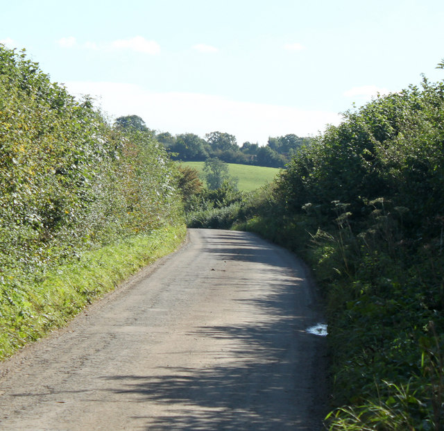
Image: © Maurice Pullin Taken: 4 Oct 2010
A very minor road between Kington Langley and the A429 at Lower Swinley Farm. Not recommended as a rat run.
Images are licensed for reuse under creativecommons.org/licenses/by-sa/2.0
Image Location
Latitude
51.502495
Longitude
-2.119241