Acton: Shaa Road
Introduction
The photograph on this page of Acton: Shaa Road by Nigel Cox as part of the Geograph project.
The Geograph project started in 2005 with the aim of publishing, organising and preserving representative images for every square kilometre of Great Britain, Ireland and the Isle of Man.

There are currently over 7.5m images from over 14,400 individuals and you can help contribute to the project by visiting https://www.geograph.org.uk
Acton: Shaa Road
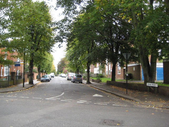
Image: © Nigel Cox Taken: 13 Oct 2010
To the stranger casually looking at a street map Shaa Road looks like a spelling mistake! Nonetheless here it is on site, complete with its road name plate and the old Ordnance Survey map of 1896 shows it with this spelling. A little Googling soon threw up the possible answer. It seems that the road is probably named after Sir Edmund Shaa, a goldsmith who was Mayor of London in 1482 and 1483 and an influential figure of the time in his dealings with Royalty. This is confirmed to a certain extent by the existence of The Goldsmith's Arms pub just around the corner from the other end of Shaa Road. The original properties in Shaa Road appear to have been built in the 1880s by George Wright and the area is now part of the Acton Park Conservation Area. This view is taken from Perryn Road.
Images are licensed for reuse under creativecommons.org/licenses/by-sa/2.0
Image Location
Latitude
51.510881
Longitude
-0.26051