Road to Parkmaclurg
Introduction
The photograph on this page of Road to Parkmaclurg by Andy Farrington as part of the Geograph project.
The Geograph project started in 2005 with the aim of publishing, organising and preserving representative images for every square kilometre of Great Britain, Ireland and the Isle of Man.

There are currently over 7.5m images from over 14,400 individuals and you can help contribute to the project by visiting https://www.geograph.org.uk
Road to Parkmaclurg
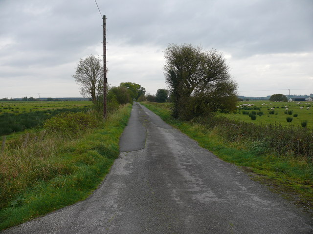
Image: © Andy Farrington Taken: 14 Oct 2010
This small lane leads down to Parkmaclurg Farm, Roadfoot right of picture and the River Cree estuary.
Images are licensed for reuse under creativecommons.org/licenses/by-sa/2.0
Image Location


Leaflet Map data © OpenStreetMap
Latitude
54.946832
Longitude
-4.440779