The A76 at New Cumnock
Introduction
The photograph on this page of The A76 at New Cumnock by Walter Baxter as part of the Geograph project.
The Geograph project started in 2005 with the aim of publishing, organising and preserving representative images for every square kilometre of Great Britain, Ireland and the Isle of Man.

There are currently over 7.5m images from over 14,400 individuals and you can help contribute to the project by visiting https://www.geograph.org.uk
The A76 at New Cumnock
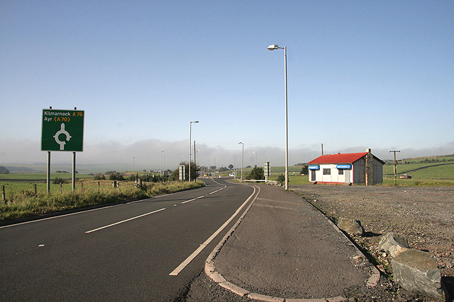
Image: © Walter Baxter Taken: 12 Oct 2010
At the northwest side of New Cumnock with the Tam O' Shanter Cafe on the right closed and boarded up.
Images are licensed for reuse under creativecommons.org/licenses/by-sa/2.0
Image Location
Latitude
55.404898
Longitude
-4.189199