Corner of Churchside, Macclesfield
Introduction
The photograph on this page of Corner of Churchside, Macclesfield by Robin Stott as part of the Geograph project.
The Geograph project started in 2005 with the aim of publishing, organising and preserving representative images for every square kilometre of Great Britain, Ireland and the Isle of Man.

There are currently over 7.5m images from over 14,400 individuals and you can help contribute to the project by visiting https://www.geograph.org.uk
Corner of Churchside, Macclesfield
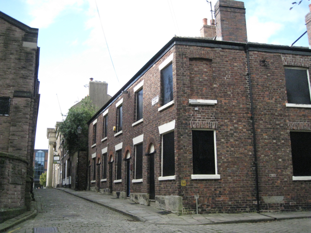
Image: © Robin Stott Taken: 25 Sep 2010
Looking from Bunkers Hill to the side of the Town Hall and the Market Place.
Images are licensed for reuse under creativecommons.org/licenses/by-sa/2.0
Image Location
Latitude
53.260237
Longitude
-2.124383