Jennymount Mill, Belfast (2)
Introduction
The photograph on this page of Jennymount Mill, Belfast (2) by Albert Bridge as part of the Geograph project.
The Geograph project started in 2005 with the aim of publishing, organising and preserving representative images for every square kilometre of Great Britain, Ireland and the Isle of Man.

There are currently over 7.5m images from over 14,400 individuals and you can help contribute to the project by visiting https://www.geograph.org.uk
Jennymount Mill, Belfast (2)
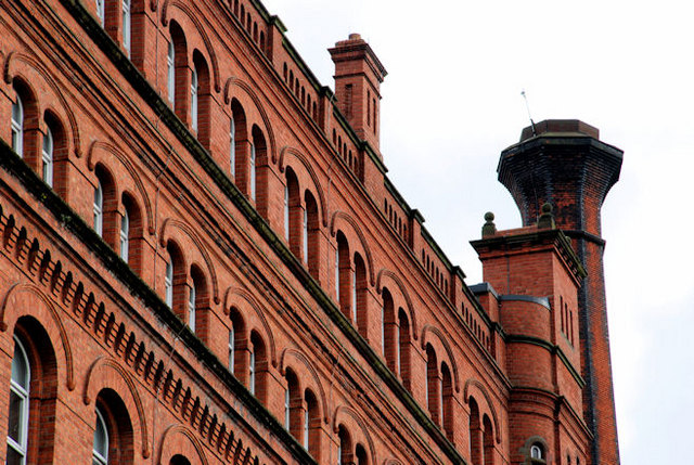
Image: © Albert Bridge Taken: 15 Oct 2010
The upper floors and chimney facing North Derby Street. The “At Risk” Register describes it as being “at risk” not as a result of its condition but because of its size and location.
Images are licensed for reuse under creativecommons.org/licenses/by-sa/2.0
Image Location
Latitude
54.616511
Longitude
-5.922596