Former military buildings near Chilmark (2)
Introduction
The photograph on this page of Former military buildings near Chilmark (2) by Stephen Richards as part of the Geograph project.
The Geograph project started in 2005 with the aim of publishing, organising and preserving representative images for every square kilometre of Great Britain, Ireland and the Isle of Man.

There are currently over 7.5m images from over 14,400 individuals and you can help contribute to the project by visiting https://www.geograph.org.uk
Former military buildings near Chilmark (2)
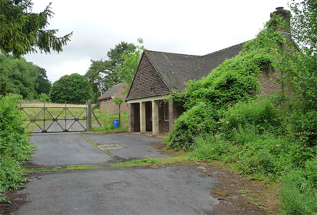
Image: © Stephen Richards Taken: Unknown
Very little has changed in the three years since Andy Gryce's photo: Image I was standing by the road scratching my head over the sight of these rather random-looking, apparently disused, buildings (scattered amongst which were several battered old cars with ACME and stick-men daubed on their sides) when a gent cycled by and shed light on the mystery. The buildings originally belonged to the RAF Chilmark base, which was decommissioned in 1996, and are now used by ISSEE who organise anti-terrorism training for domestic and international governments and law enforcement agencies.
Images are licensed for reuse under creativecommons.org/licenses/by-sa/2.0
Image Location


Leaflet Map data © OpenStreetMap
Latitude
51.07652
Longitude
-2.033494