Lower Robin Hood Lane
Introduction
The photograph on this page of Lower Robin Hood Lane by Oast House Archive as part of the Geograph project.
The Geograph project started in 2005 with the aim of publishing, organising and preserving representative images for every square kilometre of Great Britain, Ireland and the Isle of Man.

There are currently over 7.5m images from over 14,400 individuals and you can help contribute to the project by visiting https://www.geograph.org.uk
Lower Robin Hood Lane
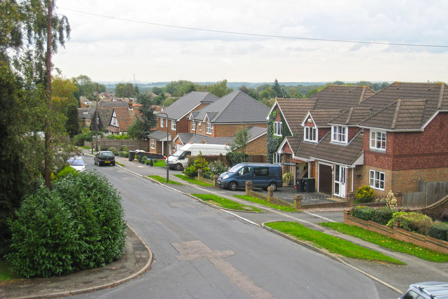
Image: © Oast House Archive Taken: 15 Oct 2010
The road is now intersected by Walderslade Wood (road) and is cul-de-saced on each side.
Images are licensed for reuse under creativecommons.org/licenses/by-sa/2.0
Image Location
Latitude
51.334187
Longitude
0.516074