Former railway land
Introduction
The photograph on this page of Former railway land by Thomas Nugent as part of the Geograph project.
The Geograph project started in 2005 with the aim of publishing, organising and preserving representative images for every square kilometre of Great Britain, Ireland and the Isle of Man.

There are currently over 7.5m images from over 14,400 individuals and you can help contribute to the project by visiting https://www.geograph.org.uk
Former railway land
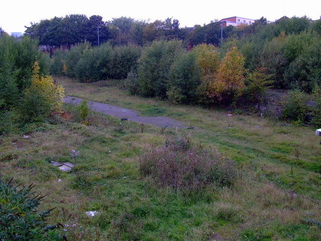
Image: © Thomas Nugent Taken: 10 Oct 2010
Site of the former Kelvin Hall railway station, by the River Kelvin, viewed from the bridge at Benalder Street. See the station here Image
Images are licensed for reuse under creativecommons.org/licenses/by-sa/2.0
Image Location
Latitude
55.868944
Longitude
-4.301557