The Centurion and Melandra Castle Road
Introduction
The photograph on this page of The Centurion and Melandra Castle Road by Bill Boaden as part of the Geograph project.
The Geograph project started in 2005 with the aim of publishing, organising and preserving representative images for every square kilometre of Great Britain, Ireland and the Isle of Man.

There are currently over 7.5m images from over 14,400 individuals and you can help contribute to the project by visiting https://www.geograph.org.uk
The Centurion and Melandra Castle Road
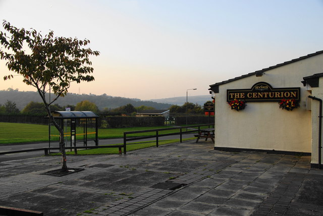
Image: © Bill Boaden Taken: 13 Oct 2010
The estate of Gamesley is almost entirely contained within the loop of Melandra Castle Road. Mottram Parish Church is silhouetted on the hill beyond.
Images are licensed for reuse under creativecommons.org/licenses/by-sa/2.0
Image Location
Latitude
53.445737
Longitude
-1.990476