Colliton Walk, Dorchester
Introduction
The photograph on this page of Colliton Walk, Dorchester by DorsetBlogger as part of the Geograph project.
The Geograph project started in 2005 with the aim of publishing, organising and preserving representative images for every square kilometre of Great Britain, Ireland and the Isle of Man.

There are currently over 7.5m images from over 14,400 individuals and you can help contribute to the project by visiting https://www.geograph.org.uk
Colliton Walk, Dorchester
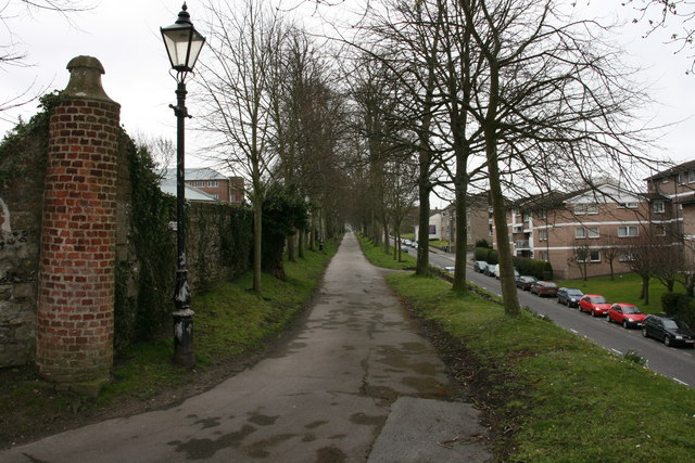
Image: © DorsetBlogger Taken: 29 Mar 2008
Dorchester's walks follow the lines of the roman walls. This was taken at the north-eastern corner of the roman town. The road on the right is known as The Grove.
Images are licensed for reuse under creativecommons.org/licenses/by-sa/2.0
Image Location
Latitude
50.71653
Longitude
-2.441885