The ridge east of Nurton, Staffordshire
Introduction
The photograph on this page of The ridge east of Nurton, Staffordshire by Roger D Kidd as part of the Geograph project.
The Geograph project started in 2005 with the aim of publishing, organising and preserving representative images for every square kilometre of Great Britain, Ireland and the Isle of Man.

There are currently over 7.5m images from over 14,400 individuals and you can help contribute to the project by visiting https://www.geograph.org.uk
The ridge east of Nurton, Staffordshire
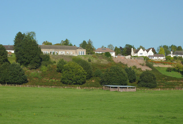
Image: © Roger D Kidd Taken: 10 Oct 2010
A telephoto assisted image taken from the bridleway, part of the Staffordshire and Monarch's Ways. This steep sandstone ridge meanders south-eastwards towards Claverley. Here on Pattingham Road the houses are expensive and exclusive, with fine rural views from the rear. It also appears that spending loads of money "landscaping" can lead to serious erosion problems which will not be easy to rectify.
Images are licensed for reuse under creativecommons.org/licenses/by-sa/2.0
Image Location
Latitude
52.589513
Longitude
-2.23021