Northernhay, Dorchester
Introduction
The photograph on this page of Northernhay, Dorchester by DorsetBlogger as part of the Geograph project.
The Geograph project started in 2005 with the aim of publishing, organising and preserving representative images for every square kilometre of Great Britain, Ireland and the Isle of Man.

There are currently over 7.5m images from over 14,400 individuals and you can help contribute to the project by visiting https://www.geograph.org.uk
Northernhay, Dorchester
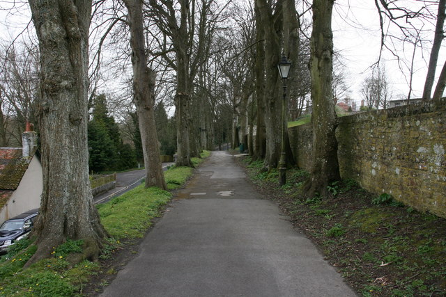
Image: © DorsetBlogger Taken: 29 Mar 2008
Looking east along the path that runs along the northern edge of Colliton Park (right). To the left is the road known as Northernhay. In the distance can be seen the scaffolding-clad chimneys of the Victorian HMP Dorchester.
Images are licensed for reuse under creativecommons.org/licenses/by-sa/2.0
Image Location
Latitude
50.717344
Longitude
-2.440618