Castle Street, Berkhamsted
Introduction
The photograph on this page of Castle Street, Berkhamsted by John Baker as part of the Geograph project.
The Geograph project started in 2005 with the aim of publishing, organising and preserving representative images for every square kilometre of Great Britain, Ireland and the Isle of Man.

There are currently over 7.5m images from over 14,400 individuals and you can help contribute to the project by visiting https://www.geograph.org.uk
Castle Street, Berkhamsted
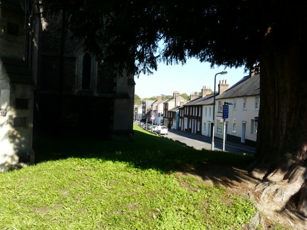
Image: © John Baker Taken: 10 Oct 2010
As seen with the wall of St Peter's parish church on the left of the view, while on the right, the trunk of a yew tree, standing on the corner of Castle Street at its junction with the High Street
Images are licensed for reuse under creativecommons.org/licenses/by-sa/2.0
Image Location
Latitude
51.759896
Longitude
-0.561333