Bailey Close, E4
Introduction
The photograph on this page of Bailey Close, E4 by Phillip Perry as part of the Geograph project.
The Geograph project started in 2005 with the aim of publishing, organising and preserving representative images for every square kilometre of Great Britain, Ireland and the Isle of Man.

There are currently over 7.5m images from over 14,400 individuals and you can help contribute to the project by visiting https://www.geograph.org.uk
Bailey Close, E4
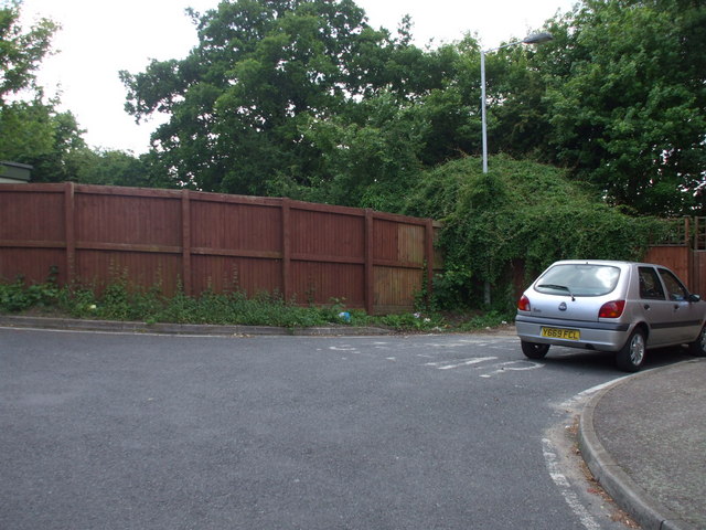
Image: © Phillip Perry Taken: 30 May 2010
Bailey Close at the end of Normanshire Drive, and where Normanshire Avenue was until this cul-de-sac was built. PS, have a look at this in Google Maps and the silver Ford Fiesta is parked in the same place.......
Images are licensed for reuse under creativecommons.org/licenses/by-sa/2.0
Image Location
Latitude
51.616475
Longitude
-0.007449