Sunken trackway near Manaccan
Introduction
The photograph on this page of Sunken trackway near Manaccan by Jeremy Bolwell as part of the Geograph project.
The Geograph project started in 2005 with the aim of publishing, organising and preserving representative images for every square kilometre of Great Britain, Ireland and the Isle of Man.

There are currently over 7.5m images from over 14,400 individuals and you can help contribute to the project by visiting https://www.geograph.org.uk
Sunken trackway near Manaccan
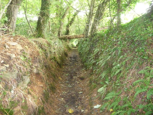
Image: © Jeremy Bolwell Taken: 5 Oct 2010
This sunken trackway carries a footpath through woodland in the valley of a stream.
Images are licensed for reuse under creativecommons.org/licenses/by-sa/2.0
Image Location
Latitude
50.084901
Longitude
-5.134565