Housing at School Lane, Lower Cambourne
Introduction
The photograph on this page of Housing at School Lane, Lower Cambourne by John Brightley as part of the Geograph project.
The Geograph project started in 2005 with the aim of publishing, organising and preserving representative images for every square kilometre of Great Britain, Ireland and the Isle of Man.

There are currently over 7.5m images from over 14,400 individuals and you can help contribute to the project by visiting https://www.geograph.org.uk
Housing at School Lane, Lower Cambourne
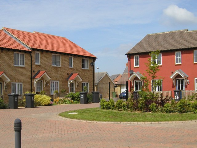
Image: © John Brightley Taken: 13 May 2004
A view of the housing courtyard which is accessed via the archway seen in Image Beyond the gates in the far corner are garages for these houses. Built by Bovis Homes as part of phase LC07.
Images are licensed for reuse under creativecommons.org/licenses/by-sa/2.0
Image Location
Latitude
52.218257
Longitude
-0.079733