Sheep pasture by Roche Grange
Introduction
The photograph on this page of Sheep pasture by Roche Grange by Espresso Addict as part of the Geograph project.
The Geograph project started in 2005 with the aim of publishing, organising and preserving representative images for every square kilometre of Great Britain, Ireland and the Isle of Man.

There are currently over 7.5m images from over 14,400 individuals and you can help contribute to the project by visiting https://www.geograph.org.uk
Sheep pasture by Roche Grange
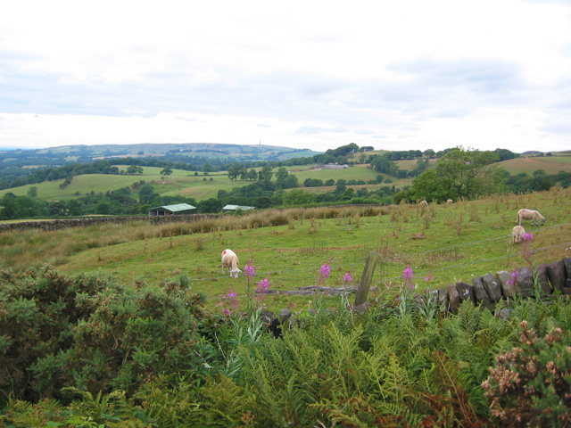
Image: © Espresso Addict Taken: 29 Jul 2006
The land below the Roaches gritstone edge is predominantly rough sheep and cattle pasture, dotted with broad-leaved trees and divided by drystone walls. View from the minor road to Roche Grange. The mast in the distance is probably the one on Sutton Common
Images are licensed for reuse under creativecommons.org/licenses/by-sa/2.0
Image Location


Leaflet Map data © OpenStreetMap
Latitude
53.167716
Longitude
-2.013422