Old St Mellons : Bridge Road climbs towards residential area
Introduction
The photograph on this page of Old St Mellons : Bridge Road climbs towards residential area by Jaggery as part of the Geograph project.
The Geograph project started in 2005 with the aim of publishing, organising and preserving representative images for every square kilometre of Great Britain, Ireland and the Isle of Man.

There are currently over 7.5m images from over 14,400 individuals and you can help contribute to the project by visiting https://www.geograph.org.uk
Old St Mellons : Bridge Road climbs towards residential area
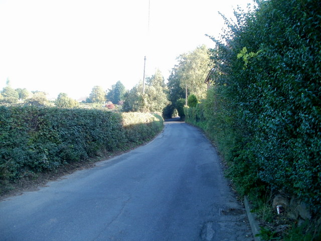
Image: © Jaggery Taken: 11 Oct 2010
Viewed from near the corner of Ruperra Close. http://www.geograph.org.uk/photo/2109030 Bridge Road (B4562) climbs towards houses at the western edge of Old St Mellons.
Images are licensed for reuse under creativecommons.org/licenses/by-sa/2.0
Image Location
Latitude
51.531595
Longitude
-3.115775