Footpath beside Tayne Field (Recreational Ground)
Introduction
The photograph on this page of Footpath beside Tayne Field (Recreational Ground) by David Anstiss as part of the Geograph project.
The Geograph project started in 2005 with the aim of publishing, organising and preserving representative images for every square kilometre of Great Britain, Ireland and the Isle of Man.

There are currently over 7.5m images from over 14,400 individuals and you can help contribute to the project by visiting https://www.geograph.org.uk
Footpath beside Tayne Field (Recreational Ground)
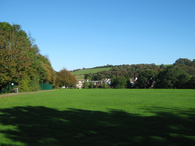
Image: © David Anstiss Taken: 10 Oct 2010
This path leads from Church Road, past the Field towards Wesley Terrace. In the background is Nash Hill.
Images are licensed for reuse under creativecommons.org/licenses/by-sa/2.0
Image Location
Latitude
51.127631
Longitude
1.088724