Track through farmland to the north of Felderland Lane
Introduction
The photograph on this page of Track through farmland to the north of Felderland Lane by Nick Smith as part of the Geograph project.
The Geograph project started in 2005 with the aim of publishing, organising and preserving representative images for every square kilometre of Great Britain, Ireland and the Isle of Man.

There are currently over 7.5m images from over 14,400 individuals and you can help contribute to the project by visiting https://www.geograph.org.uk
Track through farmland to the north of Felderland Lane
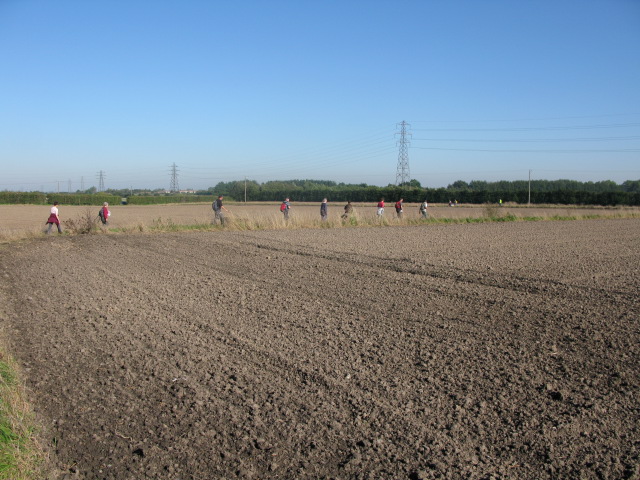
Image: © Nick Smith Taken: 10 Oct 2010
During the 2010 'Beat the bounds' walk for Eastry parish (not exactly following the parish boundary but easiest route avoiding trampling crops and cultivated land).
Images are licensed for reuse under creativecommons.org/licenses/by-sa/2.0
Image Location
Latitude
51.256075
Longitude
1.324964