Hawkesley, residential housing
Introduction
The photograph on this page of Hawkesley, residential housing by Michael Westley as part of the Geograph project.
The Geograph project started in 2005 with the aim of publishing, organising and preserving representative images for every square kilometre of Great Britain, Ireland and the Isle of Man.

There are currently over 7.5m images from over 14,400 individuals and you can help contribute to the project by visiting https://www.geograph.org.uk
Hawkesley, residential housing
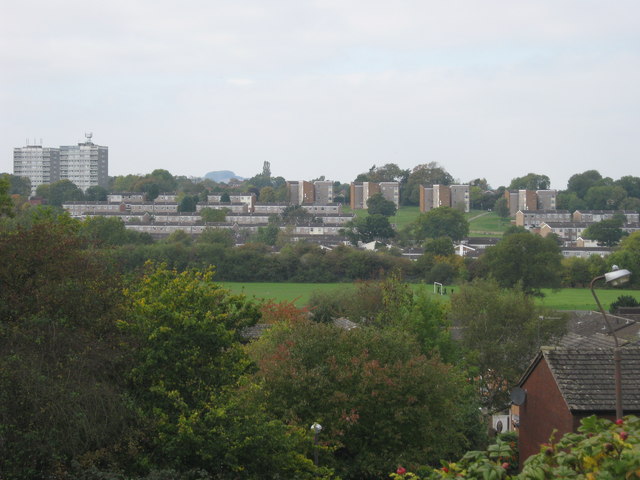
Image: © Michael Westley Taken: 12 Oct 2010
From Longdales Road, looking across leisure centre grounds, towards two blocks of flats on Branch Road. On the skyline, directly ahead (to right of flats) is a green 'mound' - this is actually the small group of trees that is 'Frankley Beeches' 3 miles or so away.
Images are licensed for reuse under creativecommons.org/licenses/by-sa/2.0
Image Location
Latitude
52.397752
Longitude
-1.941287