Valley near Clavertye Wood
Introduction
The photograph on this page of Valley near Clavertye Wood by David Anstiss as part of the Geograph project.
The Geograph project started in 2005 with the aim of publishing, organising and preserving representative images for every square kilometre of Great Britain, Ireland and the Isle of Man.

There are currently over 7.5m images from over 14,400 individuals and you can help contribute to the project by visiting https://www.geograph.org.uk
Valley near Clavertye Wood
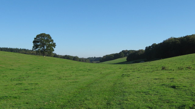
Image: © David Anstiss Taken: 10 Oct 2010
Clavertye Wood is seen on the right. As seen from a footpath from Hawes Farm towards a byway to Park Gate. This valley is part of the Park Gate Nature Reserve.
Images are licensed for reuse under creativecommons.org/licenses/by-sa/2.0
Image Location
Latitude
51.161127
Longitude
1.087386