Bridleway east of Nurton, Staffordshire
Introduction
The photograph on this page of Bridleway east of Nurton, Staffordshire by Roger D Kidd as part of the Geograph project.
The Geograph project started in 2005 with the aim of publishing, organising and preserving representative images for every square kilometre of Great Britain, Ireland and the Isle of Man.

There are currently over 7.5m images from over 14,400 individuals and you can help contribute to the project by visiting https://www.geograph.org.uk
Bridleway east of Nurton, Staffordshire
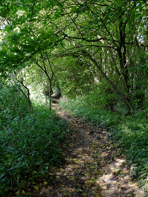
Image: © Roger D Kidd Taken: 10 Oct 2010
The Staffordshire Way and the Monarch's Way both use this bridleway, known as Toadnest Lane. The establishment of the Staffordshire Way was completed in 1983 and was the first of the two such long distance footpaths to be created in Staffordshire, (the other being the Way for the Millennium). The Staffordshire Way spans the length of the County for 92 miles (about 148 kilometres) from Mow Cop in the north to Kinver Edge in the south. The Monarch's Way is a 615-mile (990 km) long-distance footpath in England that approximates the escape route taken by King Charles II in 1651 after being defeated in the Battle of Worcester. http://en.wikipedia.org/wiki/Monarch%27s_Way
Images are licensed for reuse under creativecommons.org/licenses/by-sa/2.0
Image Location
Latitude
52.589491
Longitude
-2.232321