Looking from Pierhead Street to Roath Basin
Introduction
The photograph on this page of Looking from Pierhead Street to Roath Basin by M J Richardson as part of the Geograph project.
The Geograph project started in 2005 with the aim of publishing, organising and preserving representative images for every square kilometre of Great Britain, Ireland and the Isle of Man.

There are currently over 7.5m images from over 14,400 individuals and you can help contribute to the project by visiting https://www.geograph.org.uk
Looking from Pierhead Street to Roath Basin
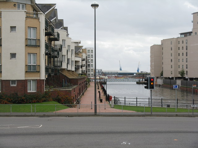
Image: © M J Richardson Taken: 5 Oct 2010
I think this would have been the access to the Bute East Dock, now landlocked and behind the photographer.
Images are licensed for reuse under creativecommons.org/licenses/by-sa/2.0
Image Location
Latitude
51.465096
Longitude
-3.157916