Bute East Dock, looking southeast
Introduction
The photograph on this page of Bute East Dock, looking southeast by M J Richardson as part of the Geograph project.
The Geograph project started in 2005 with the aim of publishing, organising and preserving representative images for every square kilometre of Great Britain, Ireland and the Isle of Man.

There are currently over 7.5m images from over 14,400 individuals and you can help contribute to the project by visiting https://www.geograph.org.uk
Bute East Dock, looking southeast
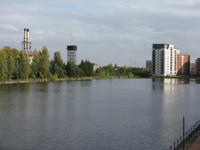
Image: © M J Richardson Taken: 5 Oct 2010
Towards new housing and the southern end of the Castle Works steel plant, with its water tower and chimneys.
Images are licensed for reuse under creativecommons.org/licenses/by-sa/2.0
Image Location
Latitude
51.469859
Longitude
-3.15818