New development Exeter
Introduction
The photograph on this page of New development Exeter by Chris Allen as part of the Geograph project.
The Geograph project started in 2005 with the aim of publishing, organising and preserving representative images for every square kilometre of Great Britain, Ireland and the Isle of Man.

There are currently over 7.5m images from over 14,400 individuals and you can help contribute to the project by visiting https://www.geograph.org.uk
New development Exeter
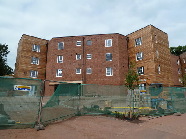
Image: © Chris Allen Taken: 8 Aug 2010
This is part of the Sylvan Heights development off Barley Lane. the position is approximate as the map doesn't show it yet. This is a block of twelve twin bedroom apartments.
Images are licensed for reuse under creativecommons.org/licenses/by-sa/2.0
Image Location
Latitude
50.712595
Longitude
-3.559806