Site of former block of flats, Perry Barr
Introduction
The photograph on this page of Site of former block of flats, Perry Barr by Michael Westley as part of the Geograph project.
The Geograph project started in 2005 with the aim of publishing, organising and preserving representative images for every square kilometre of Great Britain, Ireland and the Isle of Man.

There are currently over 7.5m images from over 14,400 individuals and you can help contribute to the project by visiting https://www.geograph.org.uk
Site of former block of flats, Perry Barr
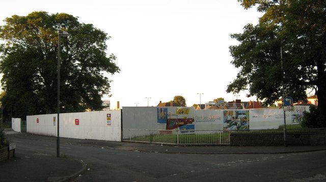
Image: © Michael Westley Taken: 17 Jun 2010
At junction of Livingstone Road and Burton Woods Drive, stood a block of flats (council). Awaiting development.
Images are licensed for reuse under creativecommons.org/licenses/by-sa/2.0
Image Location
Latitude
52.51235
Longitude
-1.904032