Field by Withy Lane
Introduction
The photograph on this page of Field by Withy Lane by Derek Harper as part of the Geograph project.
The Geograph project started in 2005 with the aim of publishing, organising and preserving representative images for every square kilometre of Great Britain, Ireland and the Isle of Man.

There are currently over 7.5m images from over 14,400 individuals and you can help contribute to the project by visiting https://www.geograph.org.uk
Field by Withy Lane
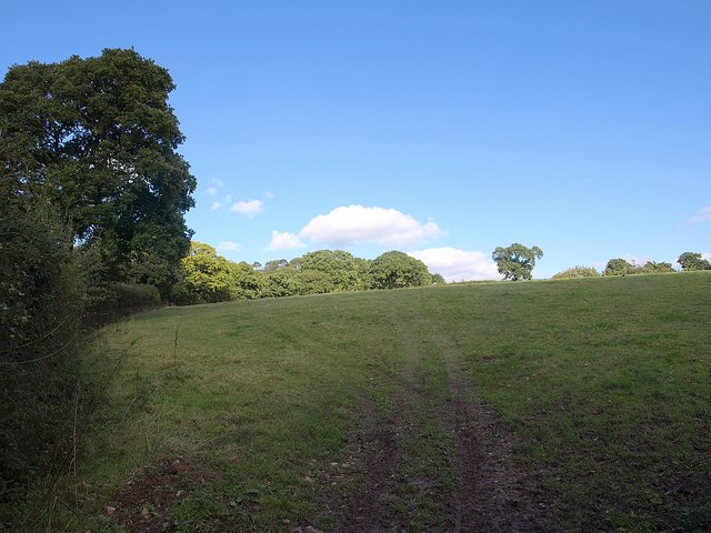
Image: © Derek Harper Taken: 4 Oct 2010
A field climbs from the lane west of Hemyock up the slopes of the Culm valley. To the left, and either side of the patch of woodland on the left, are orchards.
Images are licensed for reuse under creativecommons.org/licenses/by-sa/2.0
Image Location
Latitude
50.920751
Longitude
-3.231987