Bexhill Road
Introduction
The photograph on this page of Bexhill Road by Oast House Archive as part of the Geograph project.
The Geograph project started in 2005 with the aim of publishing, organising and preserving representative images for every square kilometre of Great Britain, Ireland and the Isle of Man.

There are currently over 7.5m images from over 14,400 individuals and you can help contribute to the project by visiting https://www.geograph.org.uk
Bexhill Road
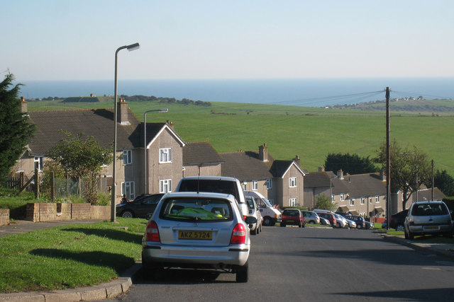
Image: © Oast House Archive Taken: 10 Oct 2010
Edge of housing estate at Woodingdean, with South Downs behind and sea in the distance.
Images are licensed for reuse under creativecommons.org/licenses/by-sa/2.0
Image Location
Latitude
50.835962
Longitude
-0.060477