Field by Withy Lane
Introduction
The photograph on this page of Field by Withy Lane by Derek Harper as part of the Geograph project.
The Geograph project started in 2005 with the aim of publishing, organising and preserving representative images for every square kilometre of Great Britain, Ireland and the Isle of Man.

There are currently over 7.5m images from over 14,400 individuals and you can help contribute to the project by visiting https://www.geograph.org.uk
Field by Withy Lane
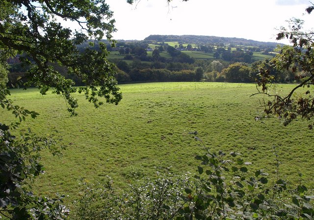
Image: © Derek Harper Taken: 4 Oct 2010
The field, bordered by hedges lined with trees in a bocage manner, runs down from Withy Lane to the River Culm.
Images are licensed for reuse under creativecommons.org/licenses/by-sa/2.0
Image Location
Latitude
50.91996
Longitude
-3.230259