Casemill Weir, River Teme
Introduction
The photograph on this page of Casemill Weir, River Teme by Ian Capper as part of the Geograph project.
The Geograph project started in 2005 with the aim of publishing, organising and preserving representative images for every square kilometre of Great Britain, Ireland and the Isle of Man.

There are currently over 7.5m images from over 14,400 individuals and you can help contribute to the project by visiting https://www.geograph.org.uk
Casemill Weir, River Teme
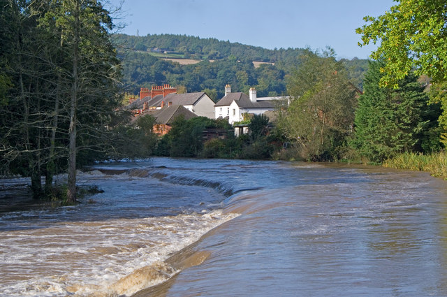
Image: © Ian Capper Taken: 4 Oct 2010
The lowest of the various weirs on the River Teme at Ludlow. The houses are on Temeside. In the far distance is North Farm on the slopes above Whitcliffe.
Images are licensed for reuse under creativecommons.org/licenses/by-sa/2.0
Image Location
Latitude
52.364472
Longitude
-2.710027