Lane up Combe Hill
Introduction
The photograph on this page of Lane up Combe Hill by Derek Harper as part of the Geograph project.
The Geograph project started in 2005 with the aim of publishing, organising and preserving representative images for every square kilometre of Great Britain, Ireland and the Isle of Man.

There are currently over 7.5m images from over 14,400 individuals and you can help contribute to the project by visiting https://www.geograph.org.uk
Lane up Combe Hill
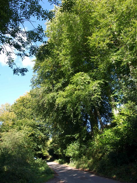
Image: © Derek Harper Taken: 4 Oct 2010
The lane from Culm Pyne Barton climbs beneath trees past the driveway to Grey Walls.
Images are licensed for reuse under creativecommons.org/licenses/by-sa/2.0
Image Location
Latitude
50.928523
Longitude
-3.228351