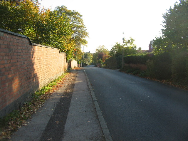
Bates Road, resurfaced
Introduction
The photograph on this page of Bates Road, resurfaced by E Gammie as part of the Geograph project.
The Geograph project started in 2005 with the aim of publishing, organising and preserving representative images for every square kilometre of Great Britain, Ireland and the Isle of Man.
There are currently over 7.5m images from over 14,400 individuals and you can help contribute to the project by visiting https://www.geograph.org.uk

Image: © E Gammie Taken: 11 Oct 2010
Like many roads in Coventry, Bates Road suffered from the unusually severe ice and snow of winter 2009 and developed several potholes. The solution has been varied: some received an aerosol mark to draw your attention to the hardcore that was being revealed; others received a token dollop of tarmac which will break up after the next icy period; a lucky few, like Bates Road, got completely resurfaced. The road in May 2010: Image]

