Sheridan Farm, West Park Road, Surrey
Introduction
The photograph on this page of Sheridan Farm, West Park Road, Surrey by Dr Neil Clifton as part of the Geograph project.
The Geograph project started in 2005 with the aim of publishing, organising and preserving representative images for every square kilometre of Great Britain, Ireland and the Isle of Man.

There are currently over 7.5m images from over 14,400 individuals and you can help contribute to the project by visiting https://www.geograph.org.uk
Sheridan Farm, West Park Road, Surrey
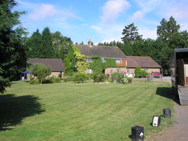
Image: © Dr Neil Clifton Taken: 29 Jul 2006
Sheridan Farm lies just south of the B2028 near Domewood. The breeding and rearing of racehorses is an important activity here.
Images are licensed for reuse under creativecommons.org/licenses/by-sa/2.0
Image Location
Latitude
51.148983
Longitude
-0.085559