AA branded water gauge, near Codicote Bottom
Introduction
The photograph on this page of AA branded water gauge, near Codicote Bottom by Jim Osley as part of the Geograph project.
The Geograph project started in 2005 with the aim of publishing, organising and preserving representative images for every square kilometre of Great Britain, Ireland and the Isle of Man.

There are currently over 7.5m images from over 14,400 individuals and you can help contribute to the project by visiting https://www.geograph.org.uk
AA branded water gauge, near Codicote Bottom
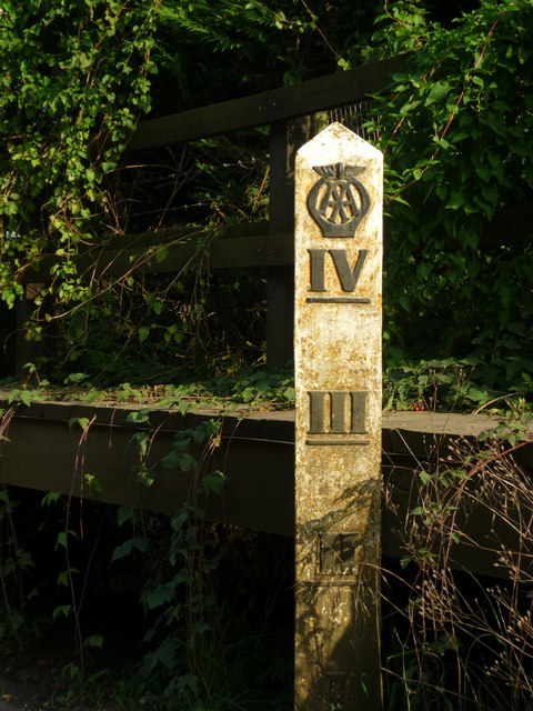
Image: © Jim Osley Taken: 8 Oct 2010
Situated at a ford of the River Mimram.
Images are licensed for reuse under creativecommons.org/licenses/by-sa/2.0
Image Location
Latitude
51.836392
Longitude
-0.242043