Approaching Millport from the north
Introduction
The photograph on this page of Approaching Millport from the north by Alec MacKinnon as part of the Geograph project.
The Geograph project started in 2005 with the aim of publishing, organising and preserving representative images for every square kilometre of Great Britain, Ireland and the Isle of Man.

There are currently over 7.5m images from over 14,400 individuals and you can help contribute to the project by visiting https://www.geograph.org.uk
Approaching Millport from the north
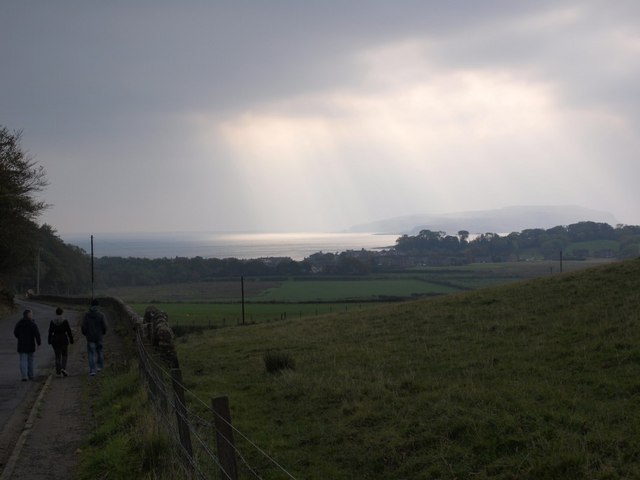
Image: © Alec MacKinnon Taken: 10 Oct 2010
Millport is actually visible in this picture, just as it is to anybody who travels from the ferry slip on the road over the central part of the island. This particular day's subdued October sun leaves it very indistinct, however.
Images are licensed for reuse under creativecommons.org/licenses/by-sa/2.0
Image Location
Latitude
55.756757
Longitude
-4.916108