Restricted byway off Church Lane
Introduction
The photograph on this page of Restricted byway off Church Lane by Hugh Craddock as part of the Geograph project.
The Geograph project started in 2005 with the aim of publishing, organising and preserving representative images for every square kilometre of Great Britain, Ireland and the Isle of Man.

There are currently over 7.5m images from over 14,400 individuals and you can help contribute to the project by visiting https://www.geograph.org.uk
Restricted byway off Church Lane
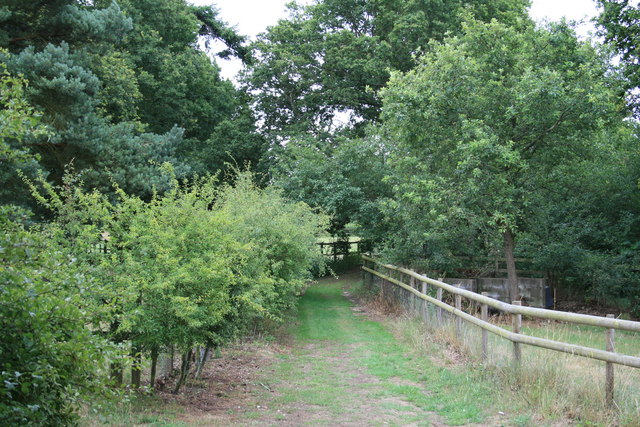
Image: © Hugh Craddock Taken: 23 Jul 2010
This restricted byway links two parcels of open land, one near the church, and one larger one near Eyke Road. Just here, where it connects the two parcels, the byway has recently been fenced and hedged in.
Images are licensed for reuse under creativecommons.org/licenses/by-sa/2.0
Image Location
Latitude
52.104956
Longitude
1.364275