Restricted byway on Bromeswell Common
Introduction
The photograph on this page of Restricted byway on Bromeswell Common by Hugh Craddock as part of the Geograph project.
The Geograph project started in 2005 with the aim of publishing, organising and preserving representative images for every square kilometre of Great Britain, Ireland and the Isle of Man.

There are currently over 7.5m images from over 14,400 individuals and you can help contribute to the project by visiting https://www.geograph.org.uk
Restricted byway on Bromeswell Common
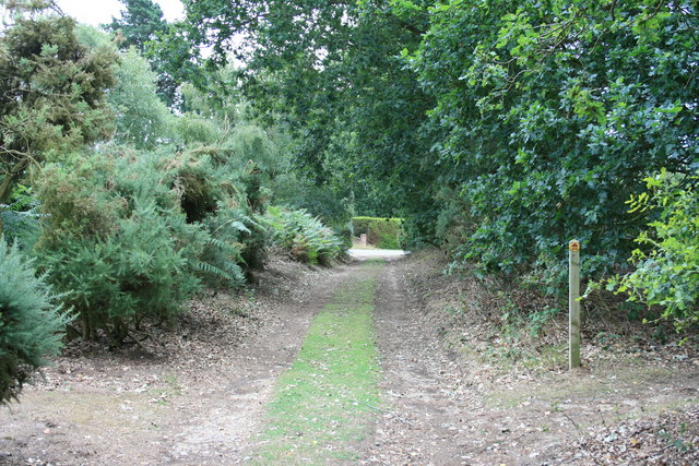
Image: © Hugh Craddock Taken: 23 Jul 2010
Restricted byway on Bromeswell Common, at the junction with a public footpath about 80m short of the Eyke Road (visible at the end of the byway).
Images are licensed for reuse under creativecommons.org/licenses/by-sa/2.0
Image Location
Latitude
52.103294
Longitude
1.365756