Bridge over Ramasaig Burn
Introduction
The photograph on this page of Bridge over Ramasaig Burn by Richard Dorrell as part of the Geograph project.
The Geograph project started in 2005 with the aim of publishing, organising and preserving representative images for every square kilometre of Great Britain, Ireland and the Isle of Man.

There are currently over 7.5m images from over 14,400 individuals and you can help contribute to the project by visiting https://www.geograph.org.uk
Bridge over Ramasaig Burn
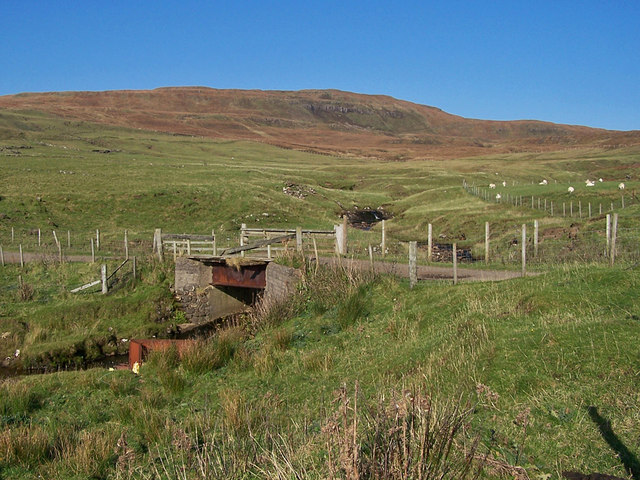
Image: © Richard Dorrell Taken: 10 Oct 2010
This relatively modern bridge, built among the ruins of the former Ramasaig settlement serves Ramasaig farm. There is a modern farm building here, though no farmhouse. The bridge also also carries the track to Lorgill - a deserted and ruined settlement a few miles to the south.
Images are licensed for reuse under creativecommons.org/licenses/by-sa/2.0
Image Location


Leaflet Map data © OpenStreetMap
Latitude
57.399076
Longitude
-6.721192