Down the hill towards Ruthernbridge
Introduction
The photograph on this page of Down the hill towards Ruthernbridge by roger geach as part of the Geograph project.
The Geograph project started in 2005 with the aim of publishing, organising and preserving representative images for every square kilometre of Great Britain, Ireland and the Isle of Man.

There are currently over 7.5m images from over 14,400 individuals and you can help contribute to the project by visiting https://www.geograph.org.uk
Down the hill towards Ruthernbridge
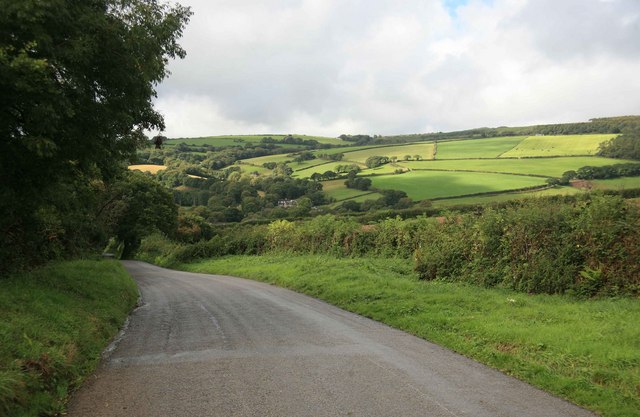
Image: © roger geach Taken: 23 Sep 2010
On the Nanstallon to Ruthernbridge road with the hills above the Camel valley highlighted in the afternoon sun.
Images are licensed for reuse under creativecommons.org/licenses/by-sa/2.0
Image Location


Leaflet Map data © OpenStreetMap
Latitude
50.46688
Longitude
-4.79151