Gravel lane, Jumper's Town
Introduction
The photograph on this page of Gravel lane, Jumper's Town by Malc McDonald as part of the Geograph project.
The Geograph project started in 2005 with the aim of publishing, organising and preserving representative images for every square kilometre of Great Britain, Ireland and the Isle of Man.

There are currently over 7.5m images from over 14,400 individuals and you can help contribute to the project by visiting https://www.geograph.org.uk
Gravel lane, Jumper's Town
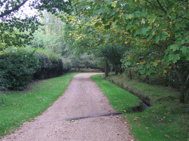
Image: © Malc McDonald Taken: 9 Oct 2010
Gravel lane at Jumper's Town, Ashdown Forest. The pipe takes a small stream under the lane.
Images are licensed for reuse under creativecommons.org/licenses/by-sa/2.0
Image Location
Latitude
51.077963
Longitude
0.096389