Blaendolau Playing Fields
Introduction
The photograph on this page of Blaendolau Playing Fields by Eirian Evans as part of the Geograph project.
The Geograph project started in 2005 with the aim of publishing, organising and preserving representative images for every square kilometre of Great Britain, Ireland and the Isle of Man.

There are currently over 7.5m images from over 14,400 individuals and you can help contribute to the project by visiting https://www.geograph.org.uk
Blaendolau Playing Fields
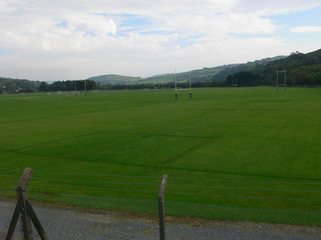
Image: © Eirian Evans Taken: 8 Oct 2010
The larger of Aberystwyth's two outdoor sports facilities, this is at Blaendolau, Llanbadarn Fawr and is about 34 acres.
Images are licensed for reuse under creativecommons.org/licenses/by-sa/2.0
Image Location
Latitude
52.403107
Longitude
-4.064619